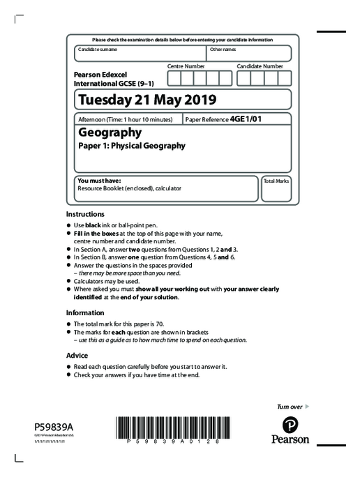
Geography 4GE1/01 June 2019
omer uner
1. River processes, erosion types, transportation methods, water storage, human water management, vegetation impact on discharge, landform development
2. Coastal landforms, sea level changes, physical weathering, mangrove conditions, soft engineering techniques, coastal management, environmental impact
3. Tectonic hazards, earthquake causes, tropical cyclones formation, tsunami generation, hazard mapping benefits, vulnerability and risk analysis
4. Fieldwork techniques, primary data collection, sampling methods, data accuracy, river and coastal environment studies, evaluation of data analysis methods
5. Human impact on water quality, agricultural runoff, industrial pollution, conservation efforts, spatial data interpretation, geographical skills application
6. Hazardous environments, equipment errors, methodological flaws, fieldwork conclusions, evaluation depth, reliability of data, improvement strategies
See More Paper 1 10 months ago
Geography (4GE1) Subject directory
All resources in one place
Related Past Papers
Related Tutorials
Crash report
